
-
Defense
-
Civil
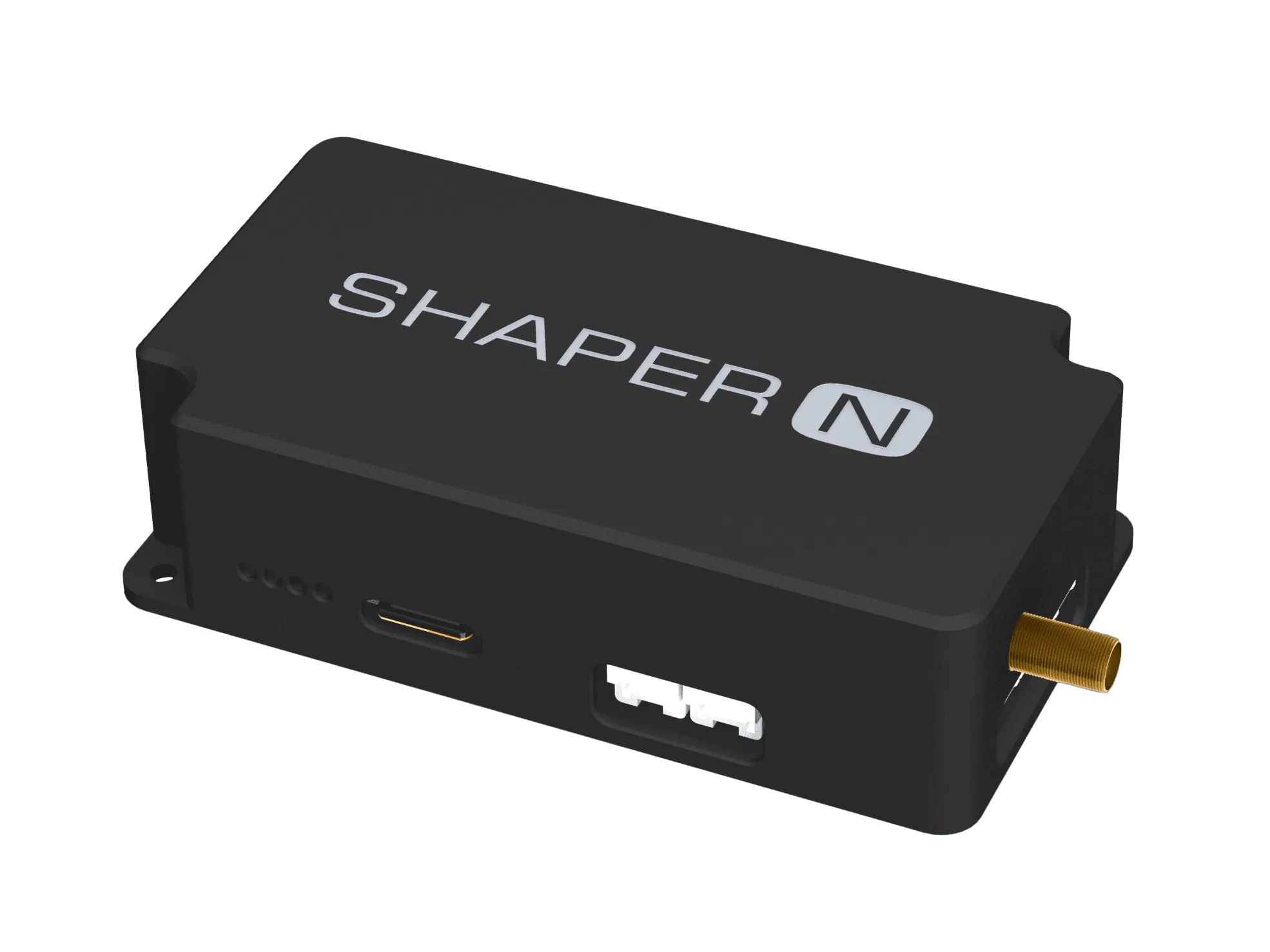
Shaper N
Civil high precision receivers
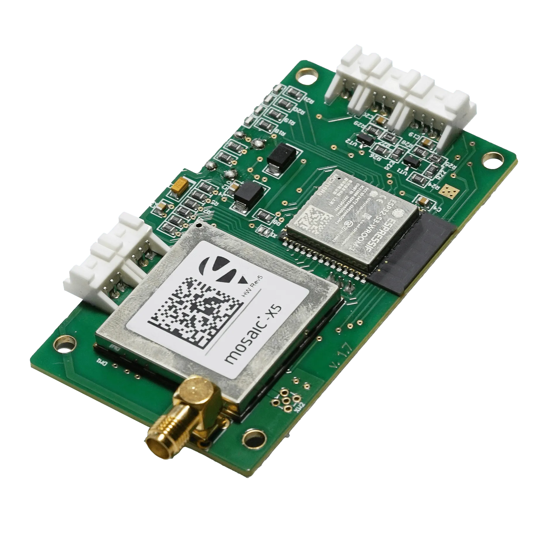
Multisystem Multifrequency GNSS receiver designed for high-accuracy aerial survey application.
Share:
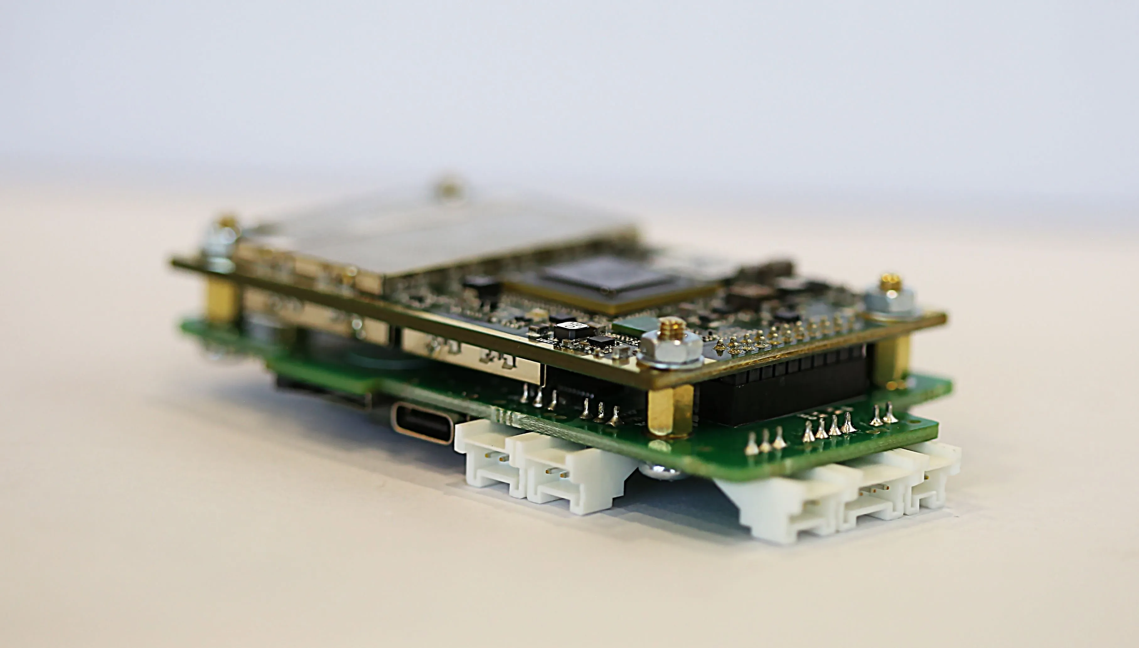
Featuring an integrated NovAtel OEM7 series receiver, the SHAPER-N delivers robust navigation and precise synchronisation with industrial cameras, making it an ideal solution for professional high-accuracy aerial mapping. Its independent, self-contained architecture ensures seamless integration into any system.
Key features
- Highly Accurate of 3D coordinates determination using the PPK method
- Full support of “RTK from the sky” mode – Terrastar-C Pro correction service
- Smooth integration with PhaseOne and Sony cameras
- Capable to support simultaneous connection of two digital cameras
- Built-in SMART controller for receiver operations enhancement, as well as raw data and Event Markers logging
- A wide options of data input/output interface
- User Friendly WEB interface for system configuration and GNSS receiver's performance monitoring
- Available in enclosure and as OEM versions